Rails & Trails Pages

Showing posts with label Biking. Show all posts

Thursday, September 27, 2012

Gateway - Bruce Vento Bike Trip

In 2011, I found out about a bike trail in Northeast St. Paul that is on an old railroad grade.  Called the Gateway Trail, I vowed to ride in in 2012.  Well, it almost didn't happen, but I lined up the ride with friends Joe Lewis and Rod Peters.  I emailed some biking friends in the Cities and they recommended we ride the trail south (it goes DOWNHILL in that direction) but when we got where it crossed  the Bruce Vento Trail, we should take that trail into downtown as it would be more scenic.  OK--we would go on Wednesday, September 26th.


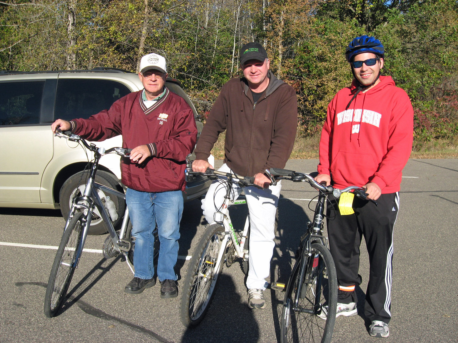
It was a GREAT day for riding--temperatures in the 50's, sunny, and NO WIND!  Rod Peters (center), Joe Lewis (right) and yours truly are ready to go!!
For a large portion of the trail, a horseback riding trail parallels our blacktop path.  (2 Horsepower on the left).


We pass many small ponds and lakes.


It looks like Joe was here before, but he says he wasn't!!


We pass under several different highways.


I don't know when the railroad was removed from here but I remember seeing the rail here paralleling Highway 36--and no trains.  I wondered which railroad ran on there and where it went???  Now I know--it is the old Soo Line passenger track from Wisconsin into the Twin Cities.  A convenient bridge is built over Century Avenue.

We pass North St. Paul High School, home of the Polars.

And, a high school gym class is using the trail for exercise.

We come to the Bruce Vento Trail, crossing the Gateway at a right angle.  This picture is taken from the Vento Trail, looking north (we will be riding south).  We came from the right and if we would have continued to the left, we would have ended up near the Capital.  Whereas the Gateway Trail was Soo Line trackage, this part of the Vento Trail was Northern Pacific trackage and was the 'Skally Line.'


The tracks crossed at grade with a diamond and there was a tower here for train protection.  A neat sign had pictures and explained the location.


Here's a shot of a Milwaukee Road train on the Skally Line crossing the Soo Line tracks, courtesy of George Forero.

 
 We headed south and passed through the backyards of several homes and apartments.  We skirted Lake Phalen.


Things were going good and we were enjoying the ride, UNTIL we came upon this sign.


We had no idea where to go.  We looked at our map, Rod bought a candy bar, we looked at the map, we rode some sidewalks, we looked at the map, and we had no idea where to go.  So we headed south and of course, we were well away from the Vento Trail.  BUT--this was BETTER!!!  We ended up at Indian Burial Mounds Park.

This park is located high on a bluff, overlooking the Mississippi River.  We had seen many pictures taken from this location but none of us had ever been here.  Check out the view!!!  First is the Pig's Eye Yard, former Milwaukee Road trackage, then Soo Line, and now Canadian Pacific.  On the near tracks, BNSF trains also travel between the Twin Cities and Chicago.


Adjacent to this yard is the Union Pacific yard.


More great shots.


We rode this path down the bluff where we could ride right next to the tracks.  These tracks are very busy with many railroads sharing the tracks.  Soon a Canadian Pacific train arrives.


Check out this great video that Rod took of a Union Pacific train coming uphill.  (Coming Soon)

But--we missed the lower part of the Vento Trail and Swede Hollow--which everyone said we had to see.  So, we pedaled north--uphill--on the Vento Trail.  This section was Milwaukee Road trackage.


One of the major industries served by the Milwaukee Road was the Hamm's Brewery, now a derelict set of buildings.


We pass under Union Pacific trackage.  This is the former Omaha/CNW track from Altoona to the Twin Cities, and there is another train stopped right on the trestle.  Picture time.


We go just a little further and then circle back and see that it is a frac sand train arriving from Wisconsin.


We had a meeting set up for Jackson Street Roundhouse and MTM (Minnesota Transportation Museum) so we grab a quick bite at Wendy's and go to Jackson Street.  There's way too many neat exhibits to take pix of but a hit of the show is 'Hustle Muscle.'


This Soo Line caboose is used for their Saturday caboose hop train rides.


Equipment at MTM is turned on this turntable.

MTM has 3 steam engines.  Although none are functional now, hopefully 328 will be again some day!!


A FUN DAY!!!  Biking, trains, friends, food, coffee--who could ask for more???


Monday, May 21, 2012

On May 21, 2012, I took a little bike ride to inspect abandoned "Blueberry Railroad" roadbed.  South of Barron, between Barron and Hillsdale, the rail bed is mostly an ATV Trail.  It's usually "closed," but today several portions were open.  Not owning an ATV, I used my bicycle.  Portions that were gated were either walked around or I lifted my bike over them.  I rode a couple of miles through marshland with only the red-winged blackbirds chasing me as I came close to their nests.  I wanted to see the wooded areas that cannot be seen from the road.  Here is where I entered the wooded portion:


While researching for this book, I learned there was an overhead road bridge at this location, just behind me in the above shot.  Here's what it looked like:


Today, the same location looks like this.  The valley has been filled in so the road is level.  The gravel trail on the left leads up and over the road.


There were several small creeks I crossed over:


The original railroad bridges were removed and here are the pilings for one of them:


Since we have been taking nature groups (including bird groups) into the Tiffany Wildlife Area south of Durand, I have taken an interest in feeding and identifying birds.  I am now able to identify a Blue Jay, a Cardinal, an Oriole, and a Robin!!!!  (Well, maybe a few more than that).  On the way to the trail, an Indigo Bunting was on a high-line wire and singing away.  I watched and listened to him for several minutes but my camera was tucked away in a back-seat box at the time!!


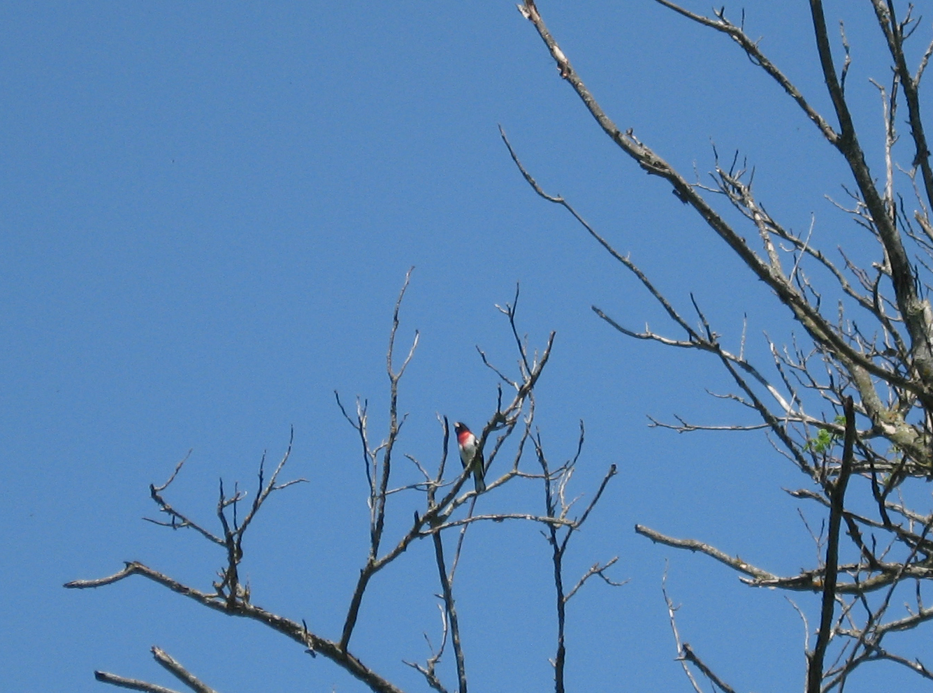
The woods were alive with singing birds but it is hard to spot them with all the foliage.  It's easiest to spot them in dead trees.  Here is a Rose-Breasted Grosbeak:


I think this one is a Catbird, right???


When I took this picture of a very small bird, I thought it was a hummingbird but now that I look at it, I don't know what it is.  Guess I need one of those powerful cameras with the big telephoto lens:


And of course, an Oriole, which didn't want to come too close:


Since it is an ATV Trail, some of it was grassed over.  (You should have seen the part that went through a cow pasture.  The trail actually skirts the farmer's pasture but I wanted to follow the railbed so I jumped the fence.  But I had to push the bike through most of it!!!)


In the above picture, there is a gate next to the highway.  Here is a shot from the gate.  The railbed went across this field--but I took the highway to that grove of trees straight ahead--where I picked up the trail again.


Here is the last short section before Barron.  In the grove of trees there was a siding for a Brick Factory.  Yes, in the early 1900's, Barron had a brick factory and shipped bricks out by rail!


Here the railroad went through the Henry Olson farm.  This is now the Barron Golf Course and the 90-foot bridge across Quaderer's Creek has been removed.


A fun day and ride.  Even though I've lived in Barron for 42 years, I saw great scenery within 7 miles of Barron that I have never seen before!!!

Wednesday, September 7, 2011

Cannon Falls Bike Trip

On Tuesday, June 16th, 2009 a group of 4 rode the bike trail from Cannon Falls, Minnesota to Red Wing.  The group included 2 of my daughters Allison and Ellen, friend Joe Lewis of Bloomer, and myself.

The trail is only 20 miles long but probably long enough for me after my recent ankle surgery.  The trail is on an abandoned CGW (Chicago Great Western) Railroad roadbed.  We rented bikes and had the owner transport us back from Red Wing to Cannon Falls.  This saved a lot of hassle transporting bikes and getting back to our starting spot.  Rain was predicted for the afternoon and the morning started with overcast but the sun broke out and with a 70 degree temperature, it was a perfect day for riding.

Here is our group--left to right:  Allison, Joe Lewis, yours truly, Ellen.

At the trailhead is the old depot in Cannon Falls, quite in poor shape.

Much of the trail is overgrown with vegetation with trees making a neat canopy over us.

One of the "critters" we encountered.  Lots of songbirds and a woodchuck.

The trail closely followed the Cannon River although with the heavy foliage, it was hard to see most of the time.

One of several creeks we passed over on a short bridge.

The original trestle work under one of the bridges.


The trail is part of the railroad that ran from Red Wing and Mankato.  If you are interested in a little history of this line, use this link:
http://www.cannonvalleytrail.com/trailhistory.htm

Here is one of the railroad mileposts still in place.


 The railroad was on the edge of a bluff and the rock face had to be cut back for building the track.


 About halfway through is Welch Village, a popular downhill skiing site in the winter.


 Where the railroad went under Highway 61, a telltale pole still exists.  These poles would warn the workers riding on the top of the train cars that an obstruction was ahead, like a bridge or tunnel.


 Near the end of the trail we are almost down to the Mississippi River level.  Here is one of the lowlands.


 At the trailhead in Red Wing I was calling back to Cannon Falls to have our ride pick us up when a Canadian Pacific train on the mainline suddenly went by us--with Soo Line engines.  With phone in one hand and trying to get the camera up quickly, I just caught them:


 I hope you enjoyed the little trip.  If you enjoy biking, this would be a good trail to explore!!