
While researching for this book, I learned there was an overhead road bridge at this location, just behind me in the above shot. Here's what it looked like:

Today, the same location looks like this. The valley has been filled in so the road is level. The gravel trail on the left leads up and over the road.

There were several small creeks I crossed over:

The original railroad bridges were removed and here are the pilings for one of them:


Since we have been taking nature groups (including bird groups) into the Tiffany Wildlife Area south of Durand, I have taken an interest in feeding and identifying birds. I am now able to identify a Blue Jay, a Cardinal, an Oriole, and a Robin!!!! (Well, maybe a few more than that). On the way to the trail, an Indigo Bunting was on a high-line wire and singing away. I watched and listened to him for several minutes but my camera was tucked away in a back-seat box at the time!!
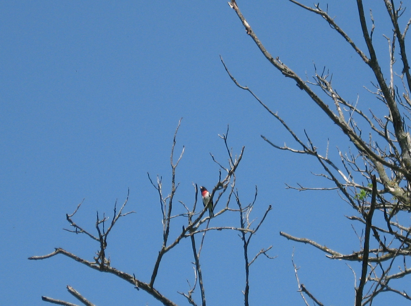
The woods were alive with singing birds but it is hard to spot them with all the foliage. It's easiest to spot them in dead trees. Here is a Rose-Breasted Grosbeak:
I think this one is a Catbird, right???

When I took this picture of a very small bird, I thought it was a hummingbird but now that I look at it, I don't know what it is. Guess I need one of those powerful cameras with the big telephoto lens:

And of course, an Oriole, which didn't want to come too close:

Since it is an ATV Trail, some of it was grassed over. (You should have seen the part that went through a cow pasture. The trail actually skirts the farmer's pasture but I wanted to follow the railbed so I jumped the fence. But I had to push the bike through most of it!!!)

In the above picture, there is a gate next to the highway. Here is a shot from the gate. The railbed went across this field--but I took the highway to that grove of trees straight ahead--where I picked up the trail again.

Here is the last short section before Barron. In the grove of trees there was a siding for a Brick Factory. Yes, in the early 1900's, Barron had a brick factory and shipped bricks out by rail!
Here the railroad went through the Henry Olson farm. This is now the Barron Golf Course and the 90-foot bridge across Quaderer's Creek has been removed.

A fun day and ride. Even though I've lived in Barron for 42 years, I saw great scenery within 7 miles of Barron that I have never seen before!!!